Burstwick and Eastern Drains Operational Catchment
Water bodies
There are 8 water bodies in this operational catchment.
Filter map layers
Data
Protected Areas
About
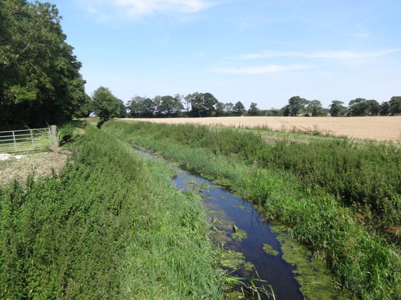
The Burstwick and Eastern Drains catchment covers the low lying coastal area east of Hull from Aldbrough in the north, including Withernsea down to Kilnsea and Spurn Head on the Holderness peninsula. The area is flat and low lying and is primarily higher quality agricultural land, used for arable farming and horticulture.