Chelmer Operational Catchment
Water bodies
There are 20 water bodies in this operational catchment.
Filter map layers
Data
Protected Areas
About
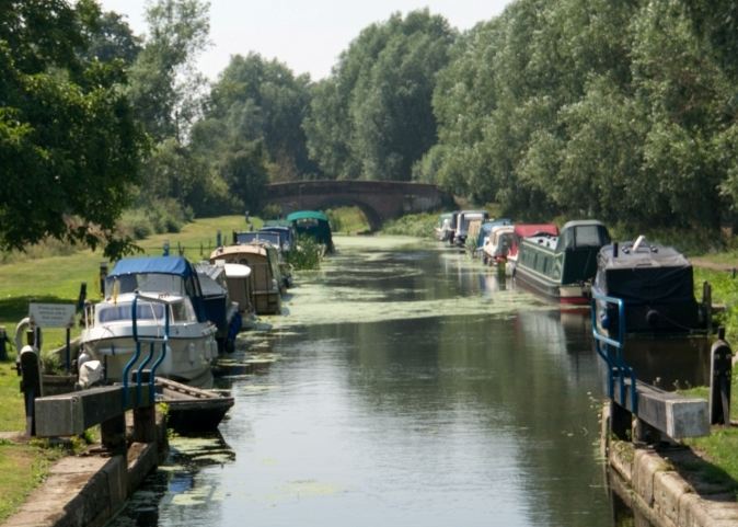
The Chelmer rises near Thaxted & flows south east towards Chelmsford, where it joins a number of other significant tributaries including the rivers Can & Wid. It is predominantly rural in nature until it reaches Chelmsford, where it is canalised through the city centre. Downstream of Chelmsford the river gives way to a canal which is popular for recreational boating. It is joined by the river Ter, one of the most natural and undisturbed rivers in the County, before joining the Blackwater at Langford. The Chelmer supports a high quality fishery and is an important source of public drinking water.