Humber Estuary TraC Operational Catchment
Water bodies
There are 6 water bodies in this operational catchment.
Filter map layers
Data
Protected Areas
About
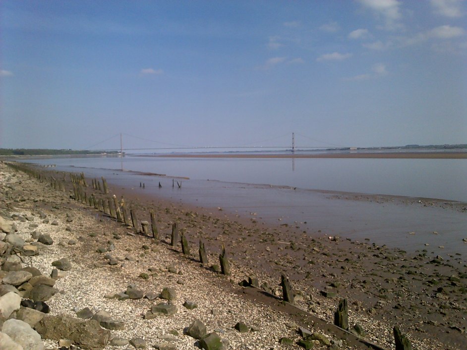
This Humber Estuary operational catchment includes three transitional coastal water bodies; Upper Humber Estuary from the saline limit to the confluence of the River Trent at Trent Falls, Middle Humber Estuary downstream to Hull and Lower Humber Estuary covering the estuary from Hull to Spurn Point. The Humber Nature Partnership has recently been formed bringing together the former Humber Management Scheme and the Humber Industry Nature Conservation Association to give better coordination of environmental matters across the Humber.