Isle of Axholme Operational Catchment
Water bodies
There are 12 water bodies in this operational catchment.
Filter map layers
Data
Protected Areas
About
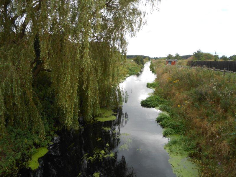
Three rivers make up the catchment - River Torne, Hatfield Waste Drain and South Level Engine Drain. They flow through the wider Isle of Axholme area before entering the River Trent. Historically the Isle of Axholme was an area of slight elevation above marshy land. A complex network of pumps, drains and straightened channels have been developed over several centuries to drain these wetland areas and manage water levels. Today the catchment contains some of the most agriculturally productive land in the country. The catchment is heavily abstracted for irrigation. Potteric Carr and Hatfield Moors are SSSIs.