Little Ouse and Thet Operational Catchment
Water bodies
There are 19 water bodies in this operational catchment.
Filter map layers
Data
Protected Areas
About
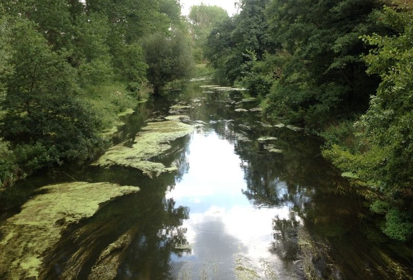
The upper reaches and tributaries of the River Thet and the River Sapiston extend as far as Attleborough and Elmswell before their confluences with the Little Ouse at Thetford and Euston. The Little Ouse flows on to the South Level just north of Lakenheath. This catchment is characterised by Breckland and woodlands with varied land use including forestry and agriculture. The catchment is important for local, national and internationally protected species and habitats including Eel, Otter and Water vole as well as one of the few remaining populations of the native white-clawed crayfish within the River Thet.