Derwent Lower Yorkshire Operational Catchment
Water bodies
There are 11 water bodies in this operational catchment.
Filter map layers
Data
Protected Areas
About
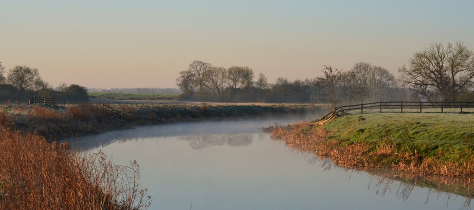
The Lower Derwent catchment covers the area from Elvington down to Barmby on the Marsh where the River Derwent meets the River Ouse. The Pocklington Canal is also part of this catchment. The area is characterised by low lying agricultural land. Downstream of Elvington lock the River Derwent was formerly tidal until the construction of the Barmby Barrage in 1975 which impounds the natural flow of the Derwent so that its water can be abstracted for public water supply at Loftsome Bridge. This section of river forms part of the Lower Derwent Valley SPA & SAC designated for its rare hay-meadow plant community, rare Alder woodland and its breeding and wintering bird populations