Severn Lower Vale Operational Catchment
Water bodies
There are 8 water bodies in this operational catchment.
Filter map layers
Data
Protected Areas
About
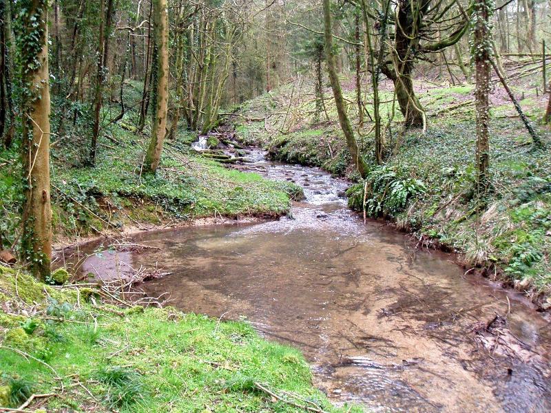
The Lower Severn Vale consists of the Bristol North Rhynes (draining west to the Severn Estuary) and the Little Avon Catchment. Little Avon rises from its source in the arable and grassland uplands of the Cotswold escarpment, flowing through the open flat flood plains of the Berkeley Vale, and discharging to the Severn Estuary via Berkeley Pill. The catchment is predominantly rural with agriculture, some forestry and little industry. The drainage system for Avonmouth is highly modified to support the extensive development for industrial use. The main statutory designation is for the adjacent Severn Estuary which is a Special Area of Conservation(SAC), Special Protection Area(SPA) and a SSSI.