Welland Lower Operational Catchment
Water bodies
There are 12 water bodies in this operational catchment.
Filter map layers
Data
Protected Areas
About
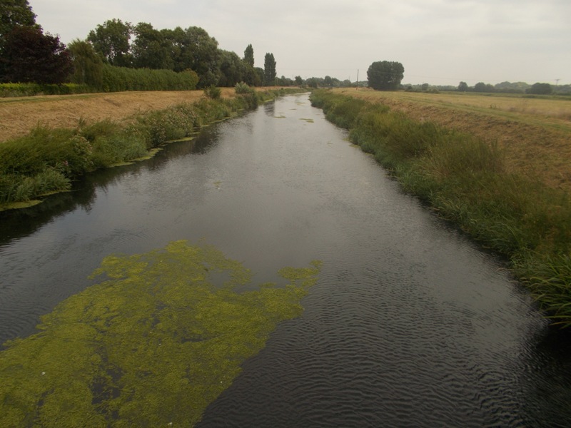
The Lower Welland catchment starts below Stamford, collecting urban run-off from northern Peterborough, before becoming the embanked wide Welland across the Fens to Spalding, where it becomes tidal. Eventually this discharges further on into the Wash. The Welland here is an important coarse fishery, and has some limited boating activity at the lower end. It is an important source of water for agricultural use and is used to feed internal board drains, which supply agricultural water to the very important arable and horticultural industries. The Welland Washes run along the south bank, though are seldom used for flood mitigation now.