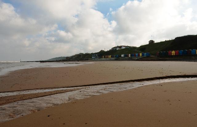
Norfolk North TraC Operational Catchment
Water bodies
There are 4 water bodies in this operational catchment.
Filter map layers
Data
Protected Areas
About
Much of the coastline around this catchment is nationally and internationally designated for its important habitats and species, forming the North Norfolk Coast SSSI, SPA, SAC and Ramsar site. The Burn, Stiffkey and Glaven all flow into this site, designated for its salt marsh, coastal lagoons and shingle banks. The value of the north Norfolk coastal landscape is recognised by its designation as part of the Norfolk coast Area of Outstanding Natural Beauty (AONB).