Somerset North Streams Operational Catchment
Water bodies
There are 11 water bodies in this operational catchment.
Filter map layers
Data
Protected Areas
About
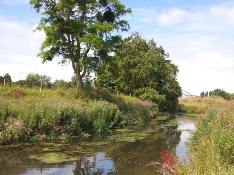
North Somerset Streams operational catchment starts at Brean Down in the south and to just beyond Blagdon Lake and then north to the mouth of the Avon. The rivers have short upland and long lowland reaches with very low gradients. Half the area is low-lying levels and moors. Approximately one third of the catchment is at risk from flooding requiring flood alleviation defences. The majority of the catchment is agricultural land, predominantly cattle farming. There are many statutory designations within the catchment; 6 water related SSSIs, 2 Special Areas of Conservation and 1 Special Protected Area. The catchment includes the Mendips AONB.