Rother and Doe Lea Operational Catchment
Water bodies
There are 19 water bodies in this operational catchment.
Filter map layers
Data
Protected Areas
About
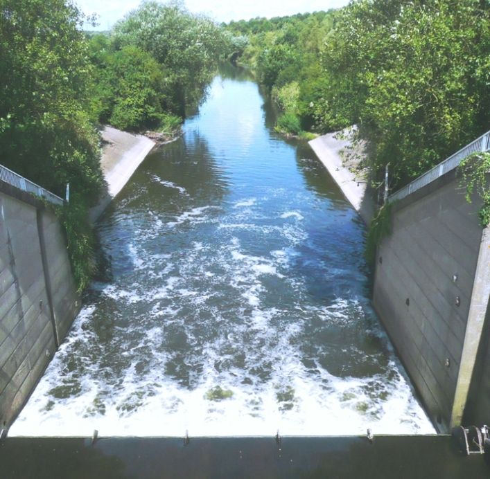
The Rother and Doe Lea catchment lies to the south of Rotherham the east of Sheffield and includes Dronfield, Chesterfield, Bolsover and Clay Cross. There are many tributaries of the Rother and Doe Lea including Holme Brook, River Drone, River Whitting, The Moss and Ulley Brook. The catchment also contains the Chesterfield Canal and Linacre Reservoir. The key issues include point source pollution, physical modifications and diffuse pollution from rural and urban areas. Protected areas in the east of the catchment include the Peak District Moors which are a SPA and the South Pennine Moors which are a designed SPA.