Chilterns South Operational Catchment
Water bodies
There are 13 water bodies in this operational catchment.
Filter map layers
Data
Protected Areas
About
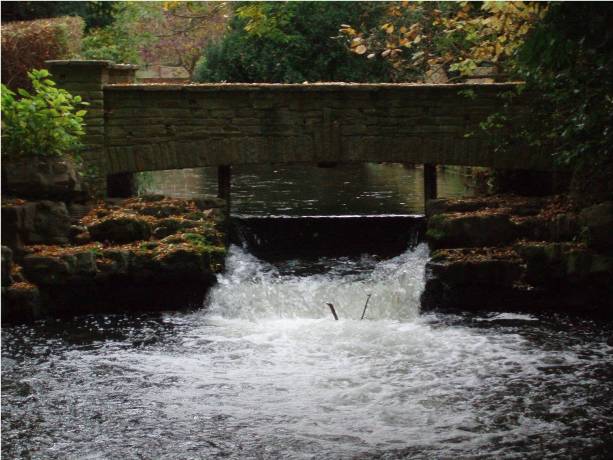
The South Chilterns operational catchment includes part of the Chilterns Area of Outstanding Natural Beauty (AONB). It has three distinct geographical areas: in the West is the River Pang, a chalk stream in a rural area flowing through Pangbourne; the navigable River Thames flows through the middle of the catchment between Wallingford and Cookham; and in the east is the River Wye, an urban chalk stream rising near High Wycombe.