Suffolk TraC Operational Catchment
Water bodies
There are 7 water bodies in this operational catchment.
Filter map layers
Data
Protected Areas
About
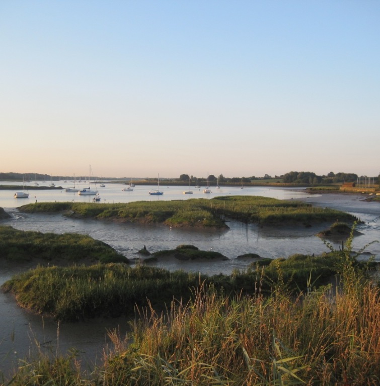
There are five estuaries along the Suffolk coast (the Stour, Orwell, Deben, Alde/Ore and Blyth) with extensive wildlife-rich intertidal areas of mudflat and salt marsh the importance of which is recognised by their designation as sites of European/National importance. In places, old river mouths have become enclosed by sand and shingle bars, creating large areas of freshwater marshland, much of which is managed as nature reserves. Reclaimed estuarine intertidal areas bounded by river walls are now important agricultural areas. The shoreline consists of predominantly shingle beaches as well as important geomorphological features including shingle structures, such as Orford Ness.