Tame Lower Rivers and Lakes Operational Catchment
Water bodies
There are 22 water bodies in this operational catchment.
Filter map layers
Data
Protected Areas
About
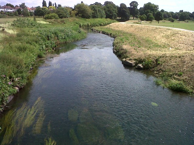
This mixed urban and rural catchment incorporates the River Tame and tributaries from Bescot to its confluence with the River Trent at Alrewas, plus part of the extensive Birmingham Canal Navigations. Many of the river water bodies are heavily modified due to urbanisation and flood risk management. At Lea Marston the River Tame flows through a series of purification lakes and treated sewage effluent discharged into the catchment upstream contributes over fifty percent of the average flow in the river. There are some significant public water supply abstractions from groundwater sources within the catchment particularly around Lichfield and Shenstone.