Derwent Derbyshire Management Catchment
Operational catchments
There are 3 operational catchments in this management catchment.
Filter map layers
Data
Protected Areas
Catchment Partnerships Pages
To view the catchment partnership pages switch to the river basin management plan
About
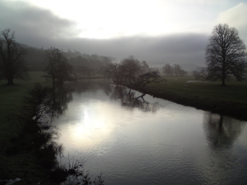
The catchment of the River Derwent covers an area of 1,197km2, covering much of the county of Derbyshire. The Derbyshire Derwent is a major tributary of the River Trent. Rising on Howden Moor, the Derwent is impounded by three public water supply reservoirs. It flows through a rural landscape towards the urban areas of Matlock and Derby. Other significant towns include Castleton, Buxton, Bakewell, Wirksworth, Alfreton and Belper. There are a number of important tributaries, the largest including the rivers Ashop, Noe, Wye, Amber, Ecclesbourne and the Markeaton Brook.