Kennet and Trib Management Catchment
Operational catchments
There are 1 operational catchments in this management catchment.
Filter map layers
Data
Protected Areas
Catchment Partnerships Pages
To view the catchment partnership pages switch to the river basin management plan
About
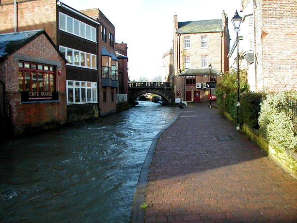
The Kennet catchment is made up of the River Kennet with its main tributaries the Lambourn, Enborne and Foudry Brook. The upper stretches of the Kennet are mainly rural the river passes through Marlborough, Hungerford, Newbury and Reading before reaching the River Thames.The River Kennet is a Site of Special Scientific Interest from Marlborough to Woolhampton, as is the entire Lambourn, which is also a Special Area of Conservation under the EU Habitats Directive. Both of these are chalk rivers of national and international importance due to the wildlife they support. They are also valuable economic and recreational assets for the area. They are home to wild brown trout and are characterised by chalkstream aquatic plant species such as Rununculus. The River Kennet has been affected by significant changes in the way the land has been used. Over the last 80 years there has been a considerable reduction in land under permanent pasture, while land cultivated for arable crops has trebled. Urban areas and transport links have expanded to accommodate a growing population. In the past few years, working in collaboration with landowners and local wildlife groups, millions has been spend on river restoration schemes on the River Kennet and Lambourn. These have improved the quality of the environment , stimulating educational initiatives and getting people involved in caring for their rivers.
