Kent North Management Catchment
Operational catchments
There are 1 operational catchments in this management catchment.
Filter map layers
Data
Protected Areas
Catchment Partnerships Pages
To view the catchment partnership pages switch to the river basin management plan
About
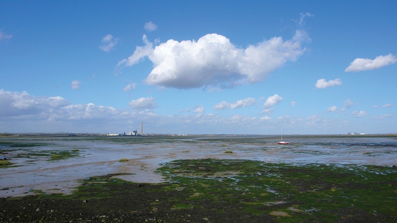
The North Kent catchment area extends along the North Kent coast between Gillingham and Herne Bay. It forms a triangle, contained within the M20 and A28. The area is made up primarily of North Downs chalk, which is very permeable. They generally rise from springs in the south west and flow northwards to join the Medway and Swale Estuary.