Wharfe and Ouse Lower Management Catchment
Operational catchments
There are 4 operational catchments in this management catchment.
Filter map layers
Data
Protected Areas
Catchment Partnerships Pages
To view the catchment partnership pages switch to the river basin management plan
About
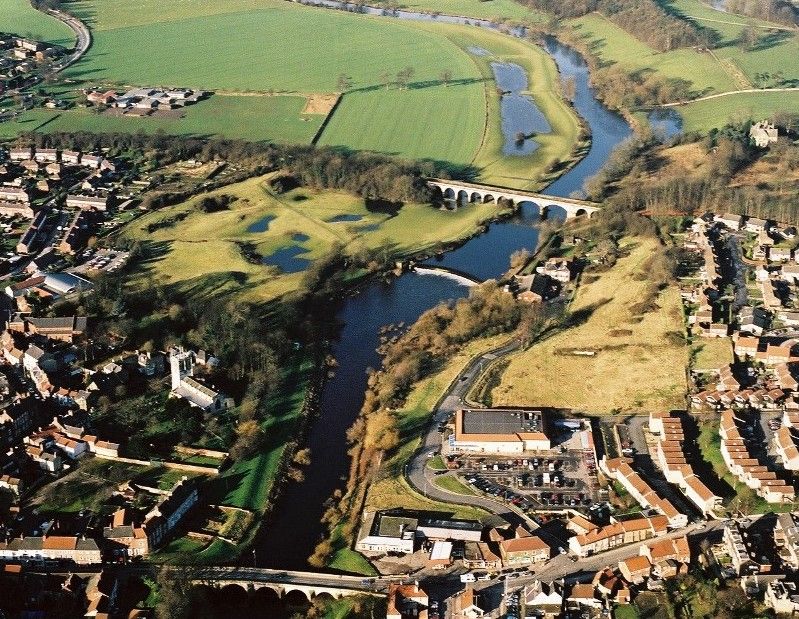
The Wharfe and Lower Ouse Catchment extends from the North and South Pennine Moors to the undulating landscape near Otley and the low-lying settlements of Tadcaster and Selby. The catchment is relatively sparsely populated and almost entirely rural, with a handful of market towns serving numerous small isolated villages. Farming and tourism are the main employers, but rural villages are also popular with commuters from nearby cities. Part of the catchment is within the Yorkshire Dales National Park, which is known for its outstanding landscape (including rivers), diversity of wildlife and rich cultural heritage. Major roads are restricted to the valley bottoms.