Wharfe Upper Operational Catchment
Water bodies
There are 14 water bodies in this operational catchment.
Filter map layers
Data
Protected Areas
About
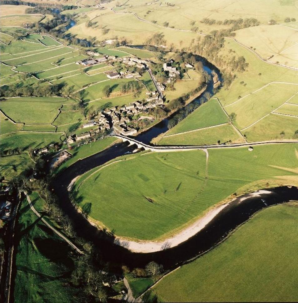
The Upper Wharfe operational catchment is characterised by two steep sided limestone river valleys, Littondale (River Skirfare) and Langstrothdale (River Wharfe). The confluence of the two is north of Kilnsey, the Wharfe then flows through Conistone and Grassington down to Burnsall. Significant water management issues identified in this catchment include diffuse pollution from rural areas, flow problems associated with reservoir releases from Grimwith reservoir, physical modifications and natural conditions as well as the effects of historic metal mining at Hebden Beck. Protected areas include the North Pennine Moors which is a designated SAC/SPA. Malham Tarn and Conistone are within the Craven Limestone Complex which is a designated SAC.