Basingstoke Chalk Operational Catchment
Water bodies
There are 1 water bodies in this operational catchment.
Filter map layers
Data
Protected Areas
About
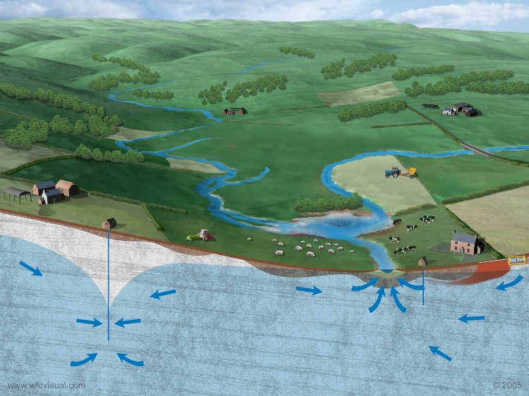
The Basingstoke Chalk Groundwater Body (GWB) resides both in the unconfined chalk aquifer and that part of the aquifer that dips to the north beneath the Lambeth Group (aka Reading Beds) and London Clay. The boundary of the GWB to the south of Basingstoke is based on the groundwater watershed between the Thames and Southern river basins. Rainfall recharging the chalk aquifer here will generally move north-eastwards as groundwater, either to be abstracted for drinking or agricultural uses, continue to migrate within the confined aquifer or feed the headwaters of the rivers Loddon, Lyde, Whitewater and Hart. The Chalk is classified as a Principal Aquifer, being able to store and transmit commercial quantities of groundwater, principally as a result of its micro-porous and fractured nature.