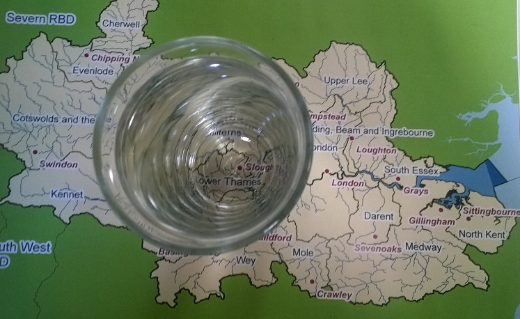
Greenwich Tertiaries Operational Catchment
Water bodies
There are 1 water bodies in this operational catchment.
Filter map layers
Data
Protected Areas
About
The Greenwich Chalk & Tertiaries is mostly comprised of 3 Secondary Aquifer units (the Harwich Formation, Lambeth Group and Thanet Sands) all of which contain a mixture of sands and silt. Generally the chalk, which is the Principal Aquifer dominated by fracture flow, lies beneath the other formations, except at the northern boundary near the River Thames and at Deptford. The Groundwater Body is a Drinking Water Protected Area. The Secondary Aquifers discharge groundwater via springs into the Ravensbourne and Marsh Dykes, whilst the chalk supports large public water abstractions along with various industrial, municipal and private groundwater abstractions.
