Kent North Chalk and Tertiaries Operational Catchment
Water bodies
There are 2 water bodies in this operational catchment.
Filter map layers
Data
Protected Areas
About
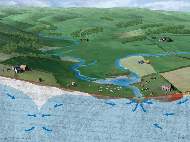
The North Kent Tertiaries, a Drinking Water Protected Area, comprises deposits of the Harwich Formation, Lambeth Group and Thanet Beds Formation, all classified as secondary aquifers. There is a boundary to the west with the North Kent Medway Chalk groundwater body, and to the east with the impermeable London Clay, with the Swale Estuary to the north. Abstractions within this area tend to take groundwater from the underlying Chalk aquifer rather than the Tertiaries, and so the majority of water is discharged as spring flow or river baseflow through the north-east trending valleys that feed into the North Kent Marshes.
