Reigate Lower Greensand Operational Catchment
Water bodies
There are 1 water bodies in this operational catchment.
Filter map layers
Data
Protected Areas
About
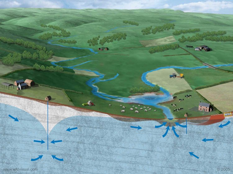
The Reigate Lower Greensand, a Drinking Water Protected Area, is a narrow groundwater body extending from Dorking in the west to the Reigate area in the east. It is divided into two principle sandstone units, the Hythe and Folkestone Formations (both Principal Aquifers), separated by the Sandgate Formation (Secondary Aquifer). Groundwater sources a number of public water supply (PWS) pumping stations and other uses (such as irrigation, fishery, mineral washing). There are a number of small watercourses traversing the groundwater body approximately south-north, all of them eventually discharging into the River Mole to the north.