Tees Mercia Mudstone and Redcar Mudstone Operational Catchment
Water bodies
There are 1 water bodies in this operational catchment.
Filter map layers
Data
Protected Areas
About
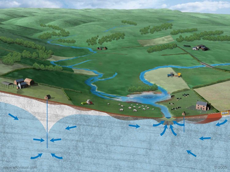
The Tees Mercia Mudstone And Redcar Mudstone groundwater body lies beneath the south east of the Tees catchment between Middlesbrough and the Cleveland hills and is designated as a drinking water protected area. This groundwater fails to achieve good status due to discharges from former ironstone mines in Saltburn Gill, Skelton and Kilton Becks. The Coal Authority has completed the first phase of a minewater treatment scheme at Saltburn Gill with a final phase to be completed by 2015.This groundwater is also at risk from nitrate contamination.