Vale of White Horse Chalk Operational Catchment
Water bodies
There are 1 water bodies in this operational catchment.
Filter map layers
Data
Protected Areas
About
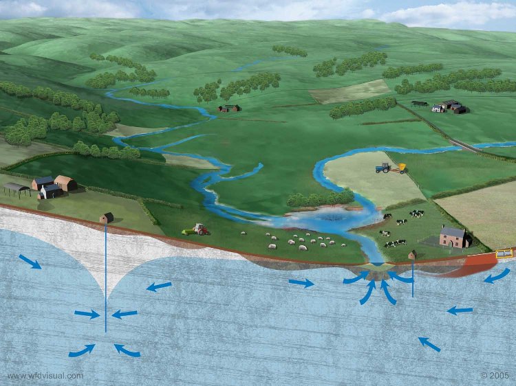
The Vale of White Horse Groundwater Body (GWB) describes part of the Chalk Group and Upper Greensand strata that lie beneath the Berkshire and Marlborough Downs. The Vale of White Horse Chalk GWB is located on the northern part of the London Basin syncline. The Vale of White Horse Chalk GWB coincides with the southern side of the Upper River Thames Catchment and part of the Middle Thames Catchment as well as the Upper parts of the River Avon. The River Thames is located to the north of the Berkshire Downs Scarp slope hence tributaries of the River Thames flow from springs that emanate from the base of the Berkshire Downs. A similar scenario applies to the River Avon where springs emerge from the Marlborough Downs to the west and the south. The Chalk and Upper Greensand aquifers are water-bearing permeable strata that provide a high level of storage. Since they support regionally important groundwater supplies these aquifers are classified as Principal Aquifers. The Chalk is exposed at the surface for a large part of the Vale of White Horse Chalk GWB and in these areas the Chalk is susceptible to vertical migration of chemicals, including fertilisers. Where the Chalk is confined by superficial clays and head deposits it is generally protected from vertical migration of chemicals used at the surface.
