Aln Operational Catchment
Water bodies
There are 10 water bodies in this operational catchment.
Filter map layers
Data
Protected Areas
About
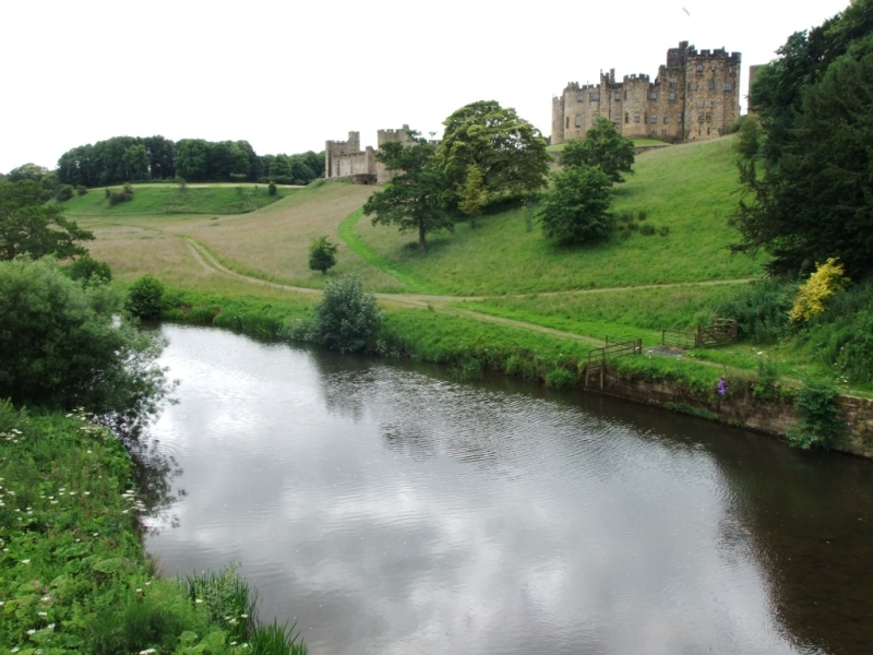
This operational catchment extends from Alnham in the west eastwards to Alnmouth where the River Aln joins the North Sea. The catchment includes Alnwick and some smaller settlements like Whittingham, Lesbury and Alnmouth. The land-use is a mixture of rural and urban. In the upper reaches of the Aln the floodplain is narrow due to steep sided valleys. Further downstream the channel is less confined and the floodplain becomes wider.