Coquet Lower Operational Catchment
Water bodies
There are 9 water bodies in this operational catchment.
Filter map layers
Data
Protected Areas
About
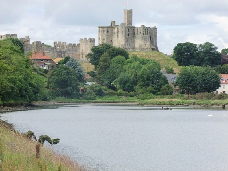
The Lower Coquet operational catchment extends from Sharperton in the Coquet Valley down to the North Sea at Amble. It contains the River Coquet and a number of smaller tributaries including Tod Burn, Thirston Burn and the Forest Burn.