Stour Dorset Operational Catchment
Water bodies
There are 38 water bodies in this operational catchment.
Filter map layers
Data
Protected Areas
About
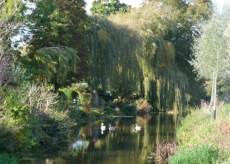
The overall catchment area is about 1,240km2. The main rivers are the Stour and Moors which flow through a mostly rural landscape in the upper and middle reaches becoming urbanised as it enters the conurbation of Bournemouth, Poole and Christchurch. There are several statutory designations within the catchment including 5 Special Areas of Conservation a Special Protected Area and the Moors River Sites of Special Scientific Interest (SSSI). The catchment also includes Cranborne Chase & West Wiltshire Downs Area of Outstanding Natural Beauty. Christchurch Harbour incorporates a SSSI comprising the estuary of the Stour and Avon and the Hengistbury Head peninsula. The habitats which can be found in the harbour area include saltmarsh, wet meadows, grassland, heath, sand dune, woodland and scrub.