Leven Northumbria Operational Catchment
Water bodies
There are 6 water bodies in this operational catchment.
Filter map layers
Data
Protected Areas
About
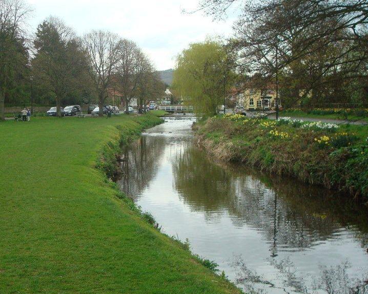
The Leven operational catchment is predominantly a low lying plain bounded to the south by the Cleveland Hills and includes the area surrounding Stokesley, Great Ayton, and Swainby in the south, and Hutton Rudby and Crathorne in the west. In the lower stretches of the catchment the Leven flows through a well defined valley cut into the surrounding land.