Don Lower Operational Catchment
Water bodies
There are 16 water bodies in this operational catchment.
Filter map layers
Data
Protected Areas
About
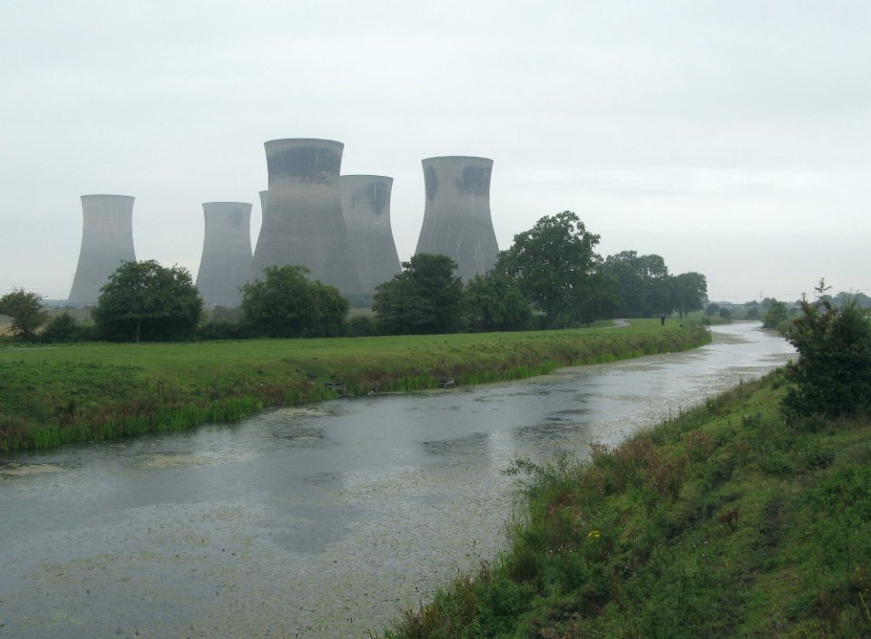
The Lower Don to the north and east of Doncaster has many heavily modified and managed rivers. Some are pumped into the Don and their lower reaches are semi impounded. Swinefleet Warping Drain is an artificial waterbody which is pumped into the Ouse and Bentley Mill Stream is managed by pumping stations. The Ea Beck and Went flow into the tidal Lower Don. Their lower reaches are tide locked. The key issues include point source pollution, physical modifications and rural diffuse pollution. Areas of high value habitat include Went Ings Meadows and Thorne & Hatfield lowland moor which are SSSIs.