Lune Upper Operational Catchment
Water bodies
There are 9 water bodies in this operational catchment.
Filter map layers
Data
Protected Areas
About
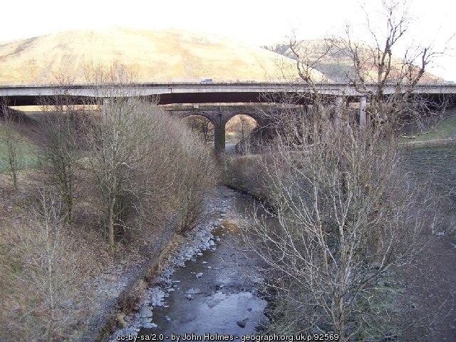
The Upper Lune Operational Catchment starts at the source at Wath, in the parish of Ravenstonedale, Cumbria, at the confluence of Sandwath Beck and Weasdale Beck. It flows west before the river turns south. Along this section the Lune passes the remnants of a Roman fort near Low Borrowbridge at the foot of Borrowdale.The M6 and railway exploit the river valley from upstream of Tebay to Beck Foot where the river continues south to Waters Meeting, the confluence with the River Rawthey and the end of the operational catchment.