North West River Basin District
Management catchments
There are 15 management catchments in this river basin district.
This river basin district crosses the border with Wales. To access data and information on the Welsh side of the border, visit Natural Resources Wales / River Basin Management Plans.
Filter map layers
Data
Protected Areas
About
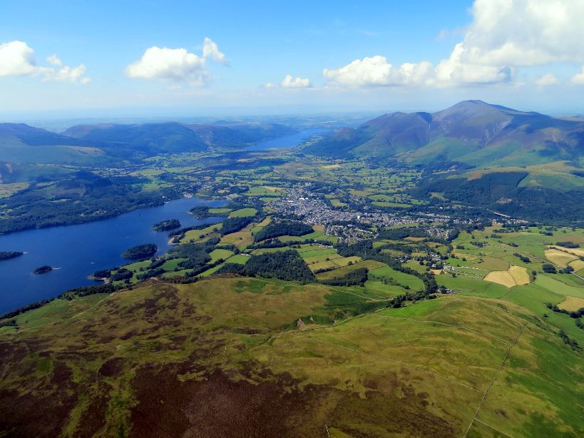
The North West river basin district covers approximately 13,200km2. It extends from Cumbria in the north and includes parts of Staffordshire to the south, parts of North Yorkshire in the east and Merseyside to the west. In total, nearly 7 million people live and work in the North West and the district includes large urban areas such as Liverpool and Manchester. The North West river basin district has a rich diversity of wildlife and habitats, supporting many species of global and national importance. These include migratory salmon rivers with native white clawed crayfish and pearl mussel populations and lakes containing the Arctic char and the rare vendace. The management catchments that make up the river basin district include many interconnected rivers, lakes, groundwater and coastal waters. These catchments include, for example, lakes and rivers in the Lake District and significant sandstone aquifers used for public water abstraction. Around 80% of the river basin district is rural, with the majority of land being used for agriculture. Livestock farming is the most common rural land use, which has shaped much of the landscape. The Lake District and Lancashire coast are tourism centres and make a significant contribution to the local economy.