New Forest - Bartley Water Operational Catchment
Water bodies
There are 2 water bodies in this operational catchment.
Filter map layers
Data
Protected Areas
About
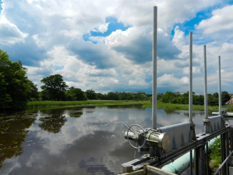
The Bartley Water runs in the north-east corner of the catchment, rising near Minstead. It meanders north-east of Lyndhurst through a mixed woodland inclosure, along a historically deepened course, which has led to a lack of connectivity with its floodplain. It receives the discharge from a public wastewater treatment works. From Ashurst, it meanders through open farmland before meeting the Fletchwood tributary, which runs through small agricultural holdings to the north of the Bartley Water. Downstream of Ashurst Bridge, the combined river enters Totton, where it is modified for flood protection, before discharging through tidal gates to Southampton Water