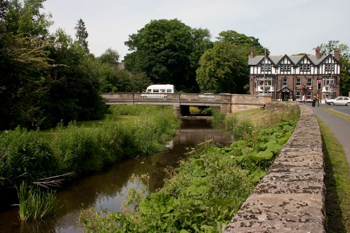
Pont Operational Catchment
Water bodies
There are 13 water bodies in this operational catchment.
Filter map layers
Data
Protected Areas
About
This operational catchment follows the River Pont from its source near Great Whittington to its confluence with the River Blyth to the west of Stannington.