Reading Cradlebridge and RMC Operational Catchment
Water bodies
There are 7 water bodies in this operational catchment.
Filter map layers
Data
Protected Areas
About
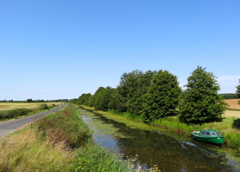
The Reading, Cradlebridge and Royal Military Canal operational catchment is mostly rural, with a coastal area popular with holiday makers. Much of the land is used for agriculture, with arable and potatoes the principal crops. The area is dominated by the Royal Military Canal, which is an important feature for water management processes, wildlife, leisure and tourism. The canal is a designated scheduled ancient monument and is used regularly for coarse fishing and the path running alongside it is popular with cyclists and walkers. There are three SSSIs within the operational catchment.