Rother Management Catchment
Operational catchments
There are 5 operational catchments in this management catchment.
Filter map layers
Data
Protected Areas
Catchment Partnerships Pages
To view the catchment partnership pages switch to the river basin management plan
About
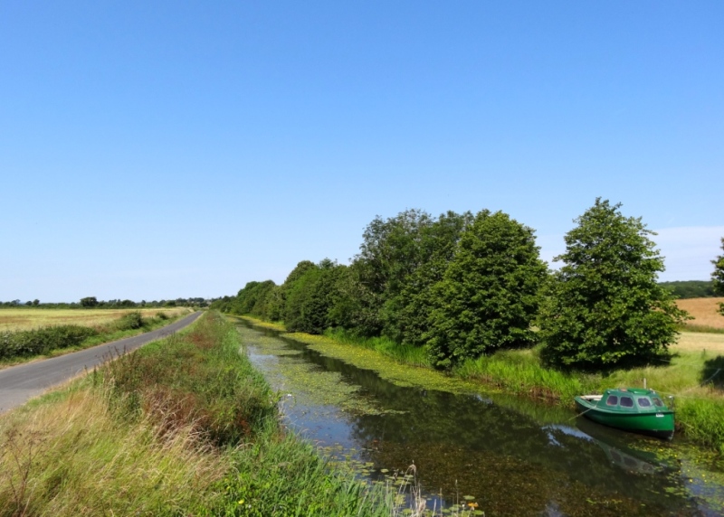
The Rother management catchment is a unique collection of river systems, man-made canals and ditches. It is mainly rural and extends from the wooded, steep river valleys of the High Weald, to the open expanse of Romney Marsh and shingle ridges of Dungeness. Rising near Mayfield, the Rother joins tributaries including the Brede, Tillingham and Pent, before flowing into the sea at Rye.