Tyne Upper Operational Catchment
Water bodies
There are 16 water bodies in this operational catchment.
Filter map layers
Data
Protected Areas
About
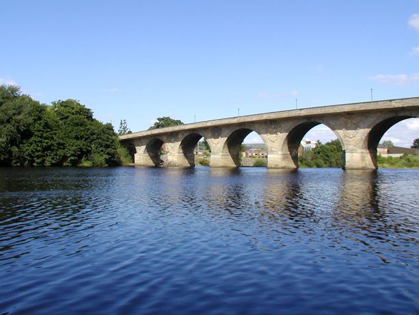
From the confluence of the North and South Tyne rivers above Hexham to the start of the tidal reach at Wylam this operational catchment is a largely rural area with important historic market towns along the river. Some towns in this area are susceptible to flooding and river and floodplain connectivity is reduced due to the presence of flood defences. The catchment includes good areas of fertile agricultural land. Tributaries on the Tyne here include Cockshaw Burn, Devils Water, Red burn, Stocksfield Burn, Whittle Burn. Designations include Hadrians Wall World Heritage Site, and North Pennine Moors SAC and SPA.