Thames Upper Operational Catchment
Water bodies
There are 35 water bodies in this operational catchment.
Filter map layers
Data
Protected Areas
About
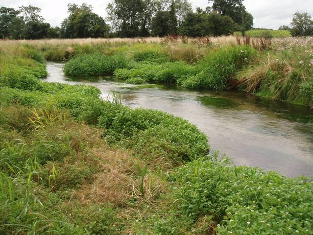
The Upper Thames operational catchment includes stretches of the River Thames extending from its source south west of Cirencester at Kemble to Lechlade in the Cotswolds. The largest tributaries are the Coln, the Ray (Wilts), the Churn and the Cole. The principal towns in the Upper Thames catchment are Swindon and Cirencester, however there are many smaller market towns located throughout the catchment. The predominant land use in the area is farming. There are Sites of Special Scientific Interest (SSSI) in the Upper Thames catchment that are dependent on local hydrology. A few examples of these are the Cotswold Water Park (CWP), Barnsley Warren and Elmlea Meadows. 1 Special Area of Conservation within the catchment is a wetland named North Meadow and Clattinger Farm located near Cricklade. There is 1 designated bathing water within the catchment, located in the CWP.