Severn River Basin District
Management catchments
There are 11 management catchments in this river basin district.
This river basin district crosses the border with Wales. To access data and information on the Welsh side of the border, visit Natural Resources Wales / River Basin Management Plans.
Filter map layers
Data
Protected Areas
About
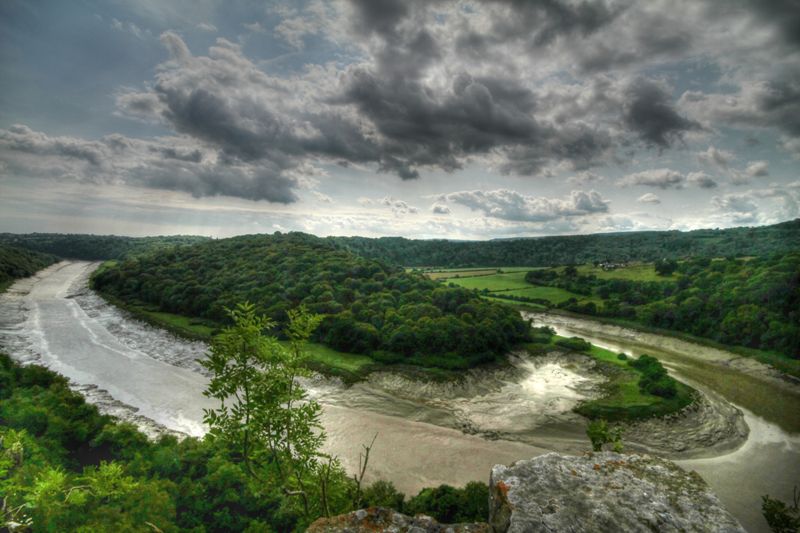
The Severn river basin district, which covers over 21,000km2 lies both in England and Wales. It extends from the Welsh uplands, through the rolling hills of the Midlands and south to the Severn Estuary. In total over 5 million people live and work in the region and, although predominantly rural, it includes urban areas such as Bristol, Coventry, Cardiff, the South Wales Valleys and parts of the West Midlands conurbation. The Severn river basin district has a particularly rich diversity of wildlife and habitats, supporting many species of global and national importance. For example, the Severn Estuary and its surrounding area are protected for their bird populations, habitats and migratory fish species such as Atlantic salmon, shad, lamprey and eel. The management catchments that make up the river basin district range from energetic upland streams to slower rivers in the lowlands, and include sandstone and limestone aquifers used for public water supply in the Midlands. Around 80% of the river basin district land is used for agriculture and forestry, which shapes much of the landscape. The sector includes beef and sheep farming, large-scale dairy farms, coniferous forestry plantations and some arable and specialist horticulture. The economy of the district is supported by business, transport, health, tourism and recreation as well as manufacturing, mineral industries and the operation of commercial ports.