Tamar Management Catchment
Operational catchments
There are 7 operational catchments in this management catchment.
Filter map layers
Data
Protected Areas
Catchment Partnerships Pages
Catchment Partnerships work at a catchment scale to improve local environmental understanding and encourage community participation through collaboration and integration leading to improved actions.
About
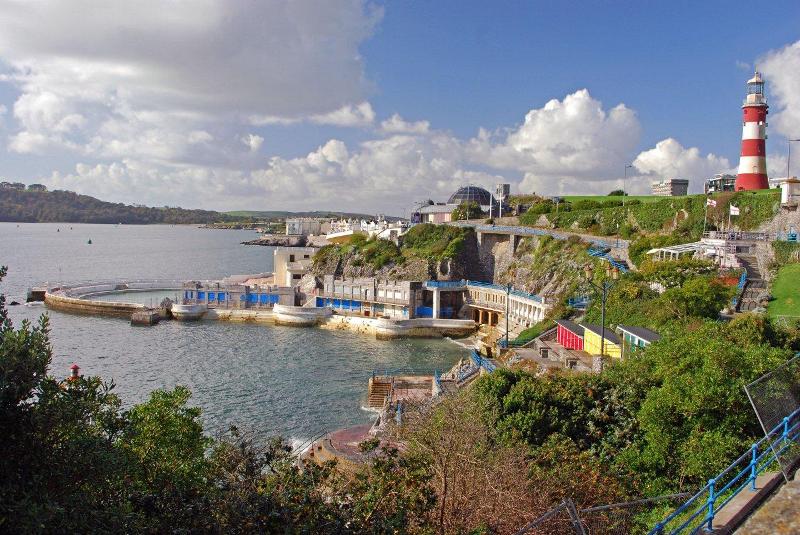
The River Tamar forms the boundary between Cornwall and Devon. Rising on Woolley Moor only 4 miles from Bude and the Atlantic Ocean, the River Tamar flows south for nearly 50 miles to the English Channel. Major tributaries include the Deer, Claw, Carey, Ottery, Kensey, Wolf, Lyd, Thrushel, Tavy, Plym and Yealm.