Tavy Operational Catchment
Water bodies
There are 5 water bodies in this operational catchment.
Filter map layers
Data
Protected Areas
About
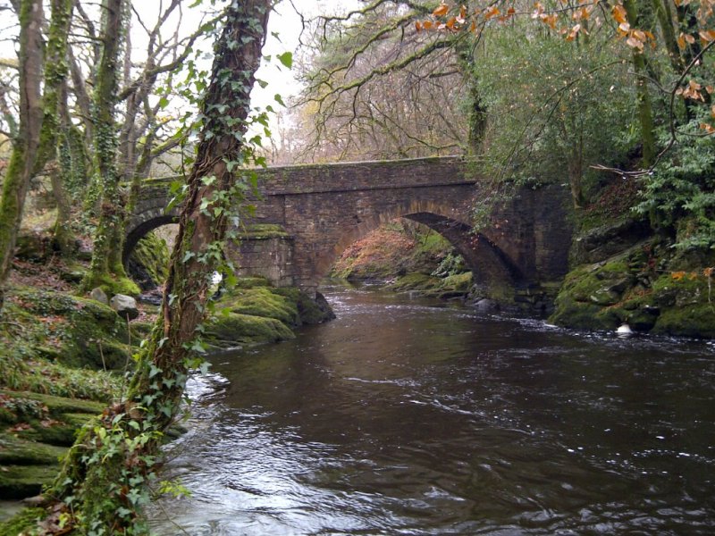
The River Tavy rises on Dartmoor near Fur Tor. It flows west then south west, joined by numerous moorland streams before entering the steep sided Tavy Cleave. Below Tavistock, the river flows through a wooded valley before reaching the estuary at Lopwell.