Mersey Upper Management Catchment
Operational catchments
There are 2 operational catchments in this management catchment.
Filter map layers
Data
Protected Areas
Catchment Partnerships Pages
Catchment Partnerships work at a catchment scale to improve local environmental understanding and encourage community participation through collaboration and integration leading to improved actions.
About
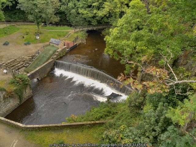
The Upper Mersey Management Catchment covers a varied area of rural, intensely urban and semi-urban land. It includes a significant part of urban Greater Manchester and, in contrast, encompasses parts of the South Pennine Moors, which are classed as a Special Protection Area (SPA) and a Special Area of Conservation (SAC). The Rivers Etherow, Goyt and Tame rise in the Peak District National Park. The River Mersey starts at the confluence of the Rivers Goyt. The Rivers Bollin and Dean begin in the south-eastern part of the catchment. Salmon are returning to the River Bollin and the River Goyt supports the River Mersey's only known population of juvenile Atlantic salmon.