Ouse Upper Bedford Principal Oolite 2 Operational Catchment
Water bodies
There are 1 water bodies in this operational catchment.
Filter map layers
Data
Protected Areas
About
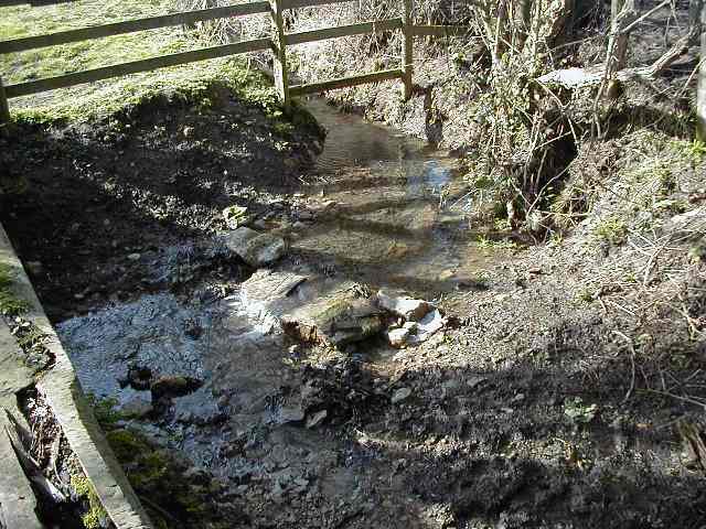
This is a Principal aquifer and a Drinking water Protected Area. The Oolite is at outcrop across most of the groundwater body with areas of superficial drift cover, groundwater flow is usually rapid and fracture flow is dominant. In the absence of low permeability drift the aquifer is vulnerable to polluting activities on the surface. The aquifer is not widely utilised. The main abstractors are for industry/agricultural purposes. There are also small domestic abstractions used as private water supplies. While not to the same extent as the Chalk base flow from the Oolite aquifer contributes to supporting surface water bodies across the outcrop.