Anglian River Basin District
Management catchments
There are 14 management catchments in this river basin district.
Filter map layers
Data
About
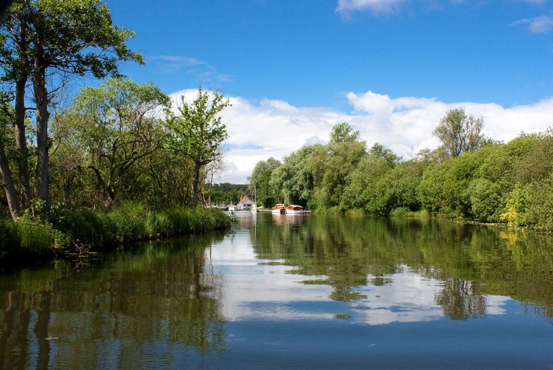
The Anglian river basin district covers 27,900km2 and extends from Lincolnshire in the north to Essex in the south and from Northamptonshire in the west to the east Anglian coast. In total over 7.1 million people live and work within the district and it includes the urban centres of Lincoln, Northampton, Milton Keynes and Chelmsford. The Anglian river basin district has a rich diversity of wildlife and habitats, supporting many species of global and national importance. It is recognised as a rich region for wetland wildlife, with the Norfolk Broads being Britain's largest nationally protected wetland and is important for wintering wildfowl. The management catchments that make up the river basin district include many interconnected rivers, lakes, groundwater and coastal waters. These range from chalk and limestone ridges to the extensive lowlands of the Fens and East Anglian coastal estuaries and marshes. The river basin district is a predominantly rural catchment, with more than 50% of land used for agriculture and horticulture. East Anglia is a tourist destination, particularly for water recreation including boaters, beach goers and anglers. The Norfolk Broads contributes significantly to the economy of the district.