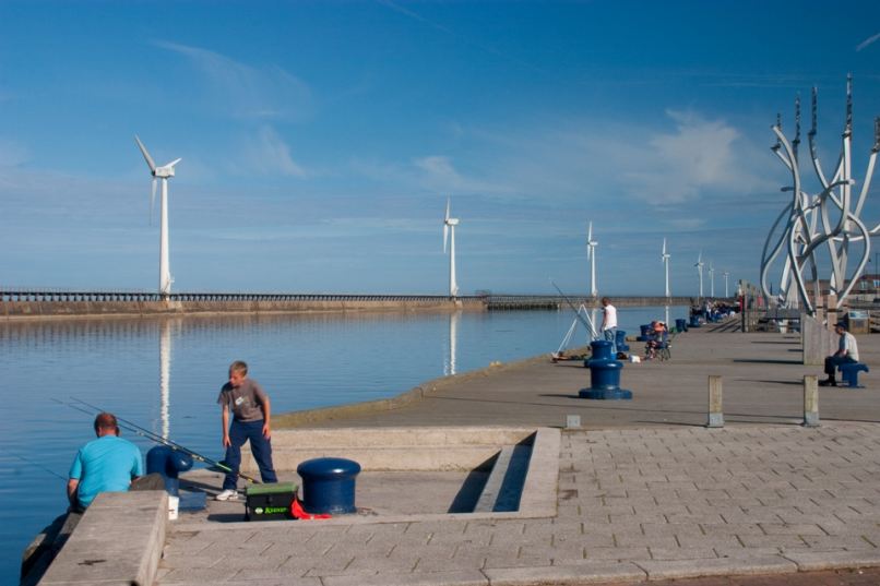
Blyth Operational Catchment
Water bodies
There are 7 water bodies in this operational catchment.
Filter map layers
Data
Protected Areas
About
This operational catchment extends from the west of Belsay to the North Sea at Blyth. It includes the River and a number of smaller tributaries.