Browney Operational Catchment
Water bodies
There are 9 water bodies in this operational catchment.
Filter map layers
Data
Protected Areas
About
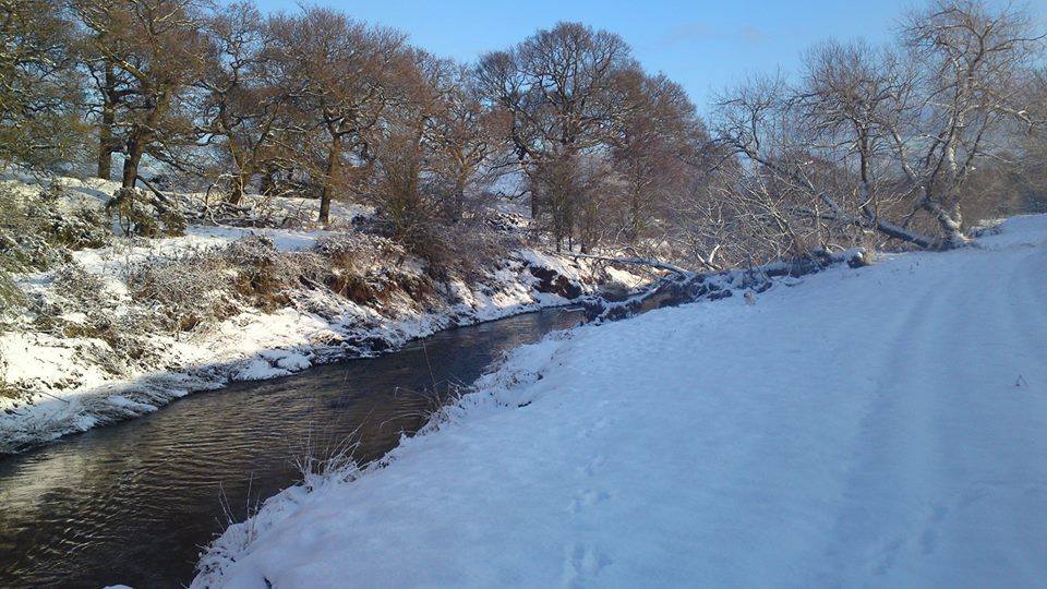
The River Browney landscape is a transition between upland and lowland, with grassland and moorland on the higher land to the west, and more mixed farming and arable to the east.