Brue and Axe Operational Catchment
Water bodies
There are 27 water bodies in this operational catchment.
Filter map layers
Data
Protected Areas
About
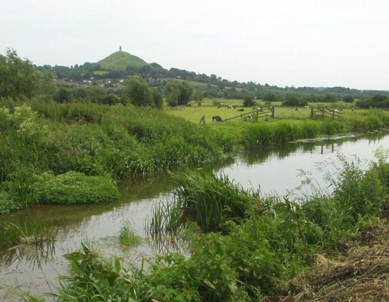
The River Brue rises in the catchments Eastern clay uplands, before flowing through the Somerset Levels and Moors and entering the sea at Highbridge. The River Axe rises from limestone springs on the Mendips, flowing through the Somerset Levels and Moors to the sea. The Brue and Axe rivers are interconnected by rhynes controlled by sluices, forming a complex artificial drainage system. Land use is predominately agricultural, the Mendip Hills providing water for public supply. The River Axe is currently within the Bristol Avon and North Somerset Streams management catchment (BA&NSSmc). We propose amending the BA&NSSmc boundary so the Axe is included in the South&West Somerset management catchment(S&WSmc). The Brue and Axe operational catchment referred to here is the proposed operational catchment to be included in the S&WSmc.