Pevensey Operational Catchment
Water bodies
There are 8 water bodies in this operational catchment.
Filter map layers
Data
Protected Areas
About
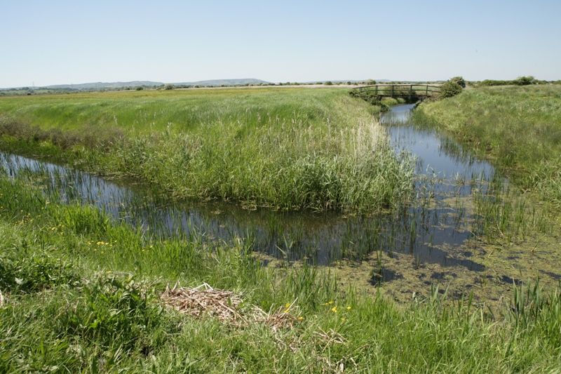
The Pevensey Levels is a lowland grazing marsh, covering 4,300 hectares between Eastbourne and Bexhill-on-Sea. It is one of the most environmentally important wetland areas in southern Britain, being of national and international importance for its biological diversity and rare plants and invertebrates, including the fen raft spider. It is designated as a Site of Special Scientific Interest (SSSI), a Ramsar site and a Special Area of Conservation (SAC.) It is managed by a Water Level Management Plan, which determines the required water levels for the SSSI and identifies the water level management actions needed to bring the sites to favourable condition.