Robin Hoods Bay Operational Catchment
Water bodies
There are 1 water bodies in this operational catchment.
Filter map layers
Data
Protected Areas
About
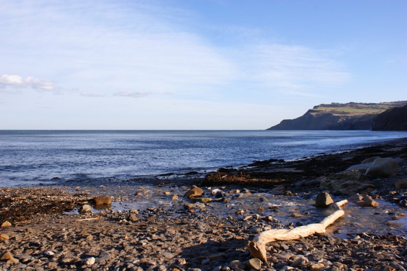
The Robin Hoods Bay operational catchment covers the coastal area south of Whitby including the townships of Robin Hoods Bay, Ravenscar and Staintondale. The catchment is largely agricultural with tourism playing a significant role in the local economy. The main streams entering the North Sea along the coast include Hawsker Bottoms, Mill Beck/Ramsdale Beck, Stoupe Beck and Hayburn/Thorney Beck. Protected areas in the catchment include the North York Moors SPA, SAC and SSSI and Robin Hoods Bay SAC and SSSI. Robin Hoods Bay is a designated bathing water.