Sandsend and Staithes Operational Catchment
Water bodies
There are 5 water bodies in this operational catchment.
Filter map layers
Data
Protected Areas
About
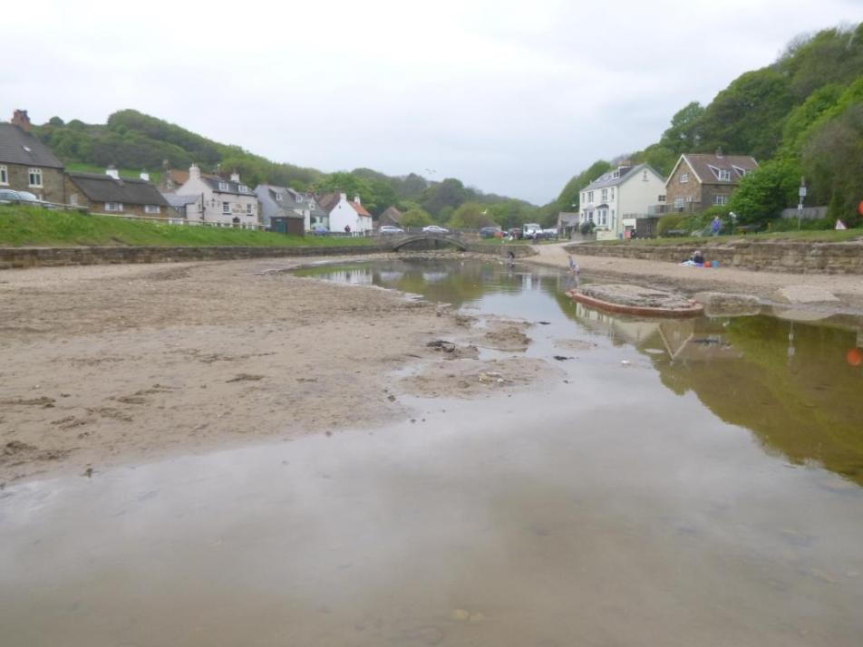
The Sandsend and Staithes operational catchment area covers the coastal strip of land to the north of Whitby taking in the towns of Sandsend, Runswick Bay, Staithes and the potash mine at Boulby. The catchment is largely rural and agricultural, although tourism also plays a major role in the economy. The main coastal streams drain directly into the North Sea at Staithes and Sandsend.